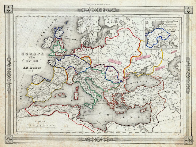
Mapa Galicia en siglo V
Mapa Galicia en siglo V 1852 Dufour Map of Europe at the end of the 5th Century 1852 Dufour Map of Europe at the end of the 5th Century Data: 1859 (undated) – 10 x 13 in (25.4 x 33.02 cm) FONTE: Barbie du Bocage, J. D., Atlas Illustre Destine a l’Enseignement de…